


Stacione Totale

Nje portfolio unikale per kontroller fushor wireless me programe me aplikacione te shumta dhe lehtesisht te perdorshem.
Controllers
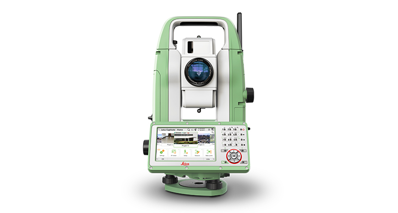
Perfitoni rezultate te matjeve ne cdo format nepermjet Stacionit Total Manual Robust 4-aksial, me saktesi te larte kendore dhe EDM te fuqishme per matje pa reflektor.
Manual Total Stations
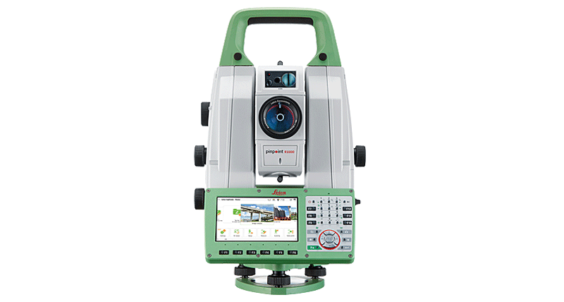
Total Station produktive te teknologjise se avancuar Leica Geosystems, te cilet ofrojne saktesi dhe siguri me te larte, si dhe nje set i plote i applikacioneve on-board.
Robotic Total Stations
Multistation me skanim dhe i vehte-spiegueshem per zgjidhje precise.
MultiStation
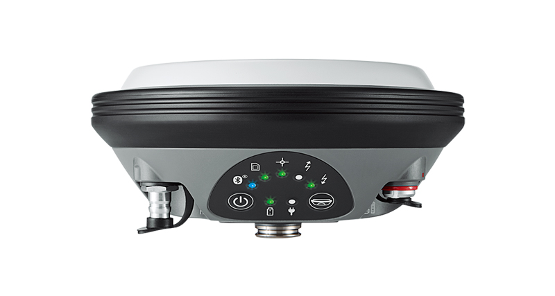
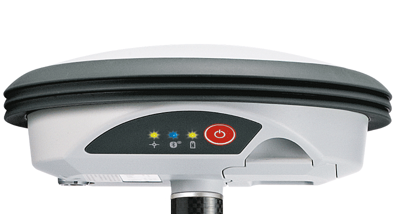
Sisteme GNSS
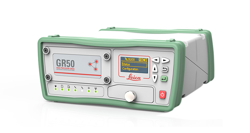
Leica Geosystems provides a range of receivers for a wide variety of GNSS reference station applications.
Receivers
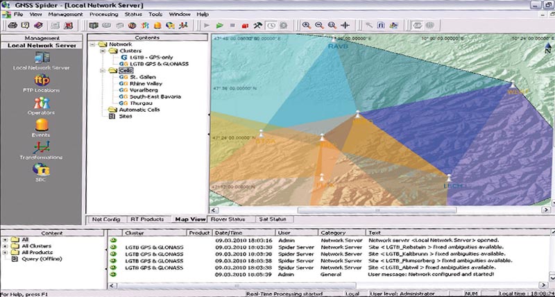
Leica Geosystems integrated software suite for centrally controlling and operating GNSS reference stations and networks.
Software
Compact and lightweight GNSS smart antennas for accurate and reliable positioning work.
Smart Antennas
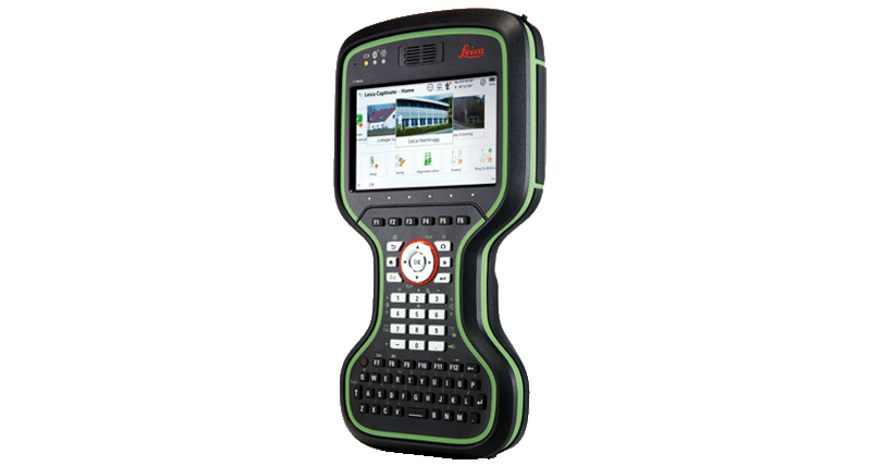
A unique portfolio of wirelessly connected field controllers with a complete range of easy-to-use software.
Controllers
GIS Collectors
Upgradeable, high-accuracy GNSS smart antenna (L1, L1/L2).
Smart Antenna
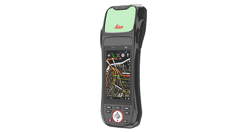
Leica Geosystems offers the ideal solutions for every mobile GIS application – handheld and tablet computers with integrated GNSS receiver.
GIS Handhelds & Tablets
Leica Geosystems offers a broad range of software that seamlessly connect measurement sensors to provide maximum productivity.
GIS Software
DISTO™ & Lino
Nothing is better than having your tools “at the ready” when you need them.
Leica DISTO™ Packages
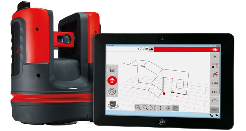
The perfect tool for 3D measuring, scanning and layout with 1 mm accuracy.
Leica 3D Disto
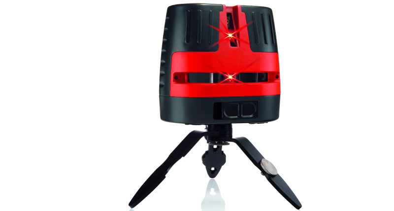
Leica Lino line and point lasers are versatile yet simple to use, making indoor levelling, aligning, squaring and plumb applications fast and easy.
Leica Lino Line & Point Lasers
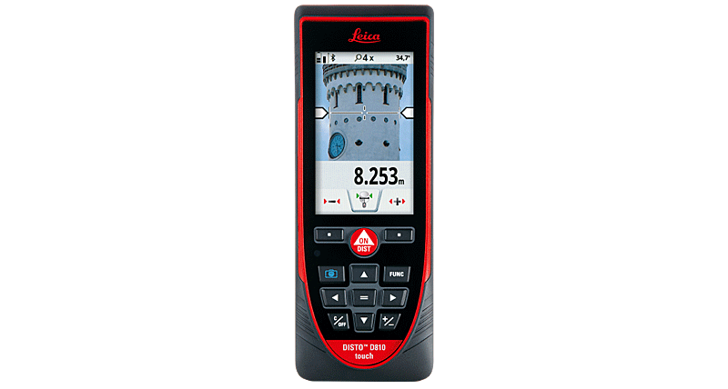
Select the right Leica DISTO™ laser distance metre for your needs and take advantage of the ultimate measuring precision and advanced functionality
Leica DISTO™

 Tirane - Prishtine
 +355 69 20 57 934