


Total Stations
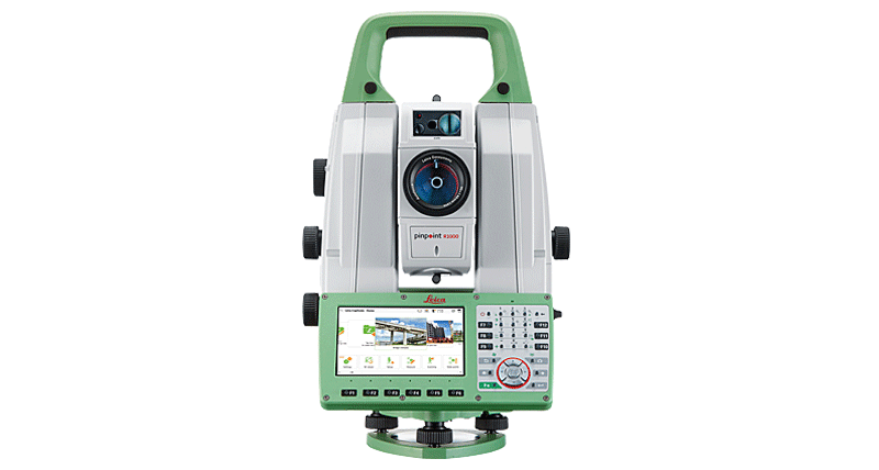
Receive data output in any format from our rugged total stations with accurate angle measurements, quadruple axis compensation and powerful reflectorless EDM.
Manual Total Stations
MultiStation with scanning and self-learning for precise tasks.
MultiStation
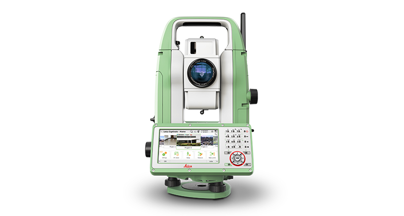
Achieve the highest accuracy and reliability with our productive total stations that provide superb angle and distance technology and a powerful suite of onboard Apps.
Robotic Total Stations
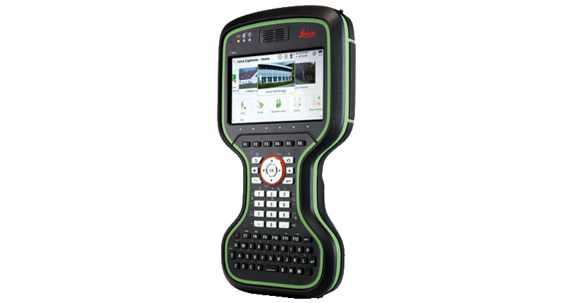
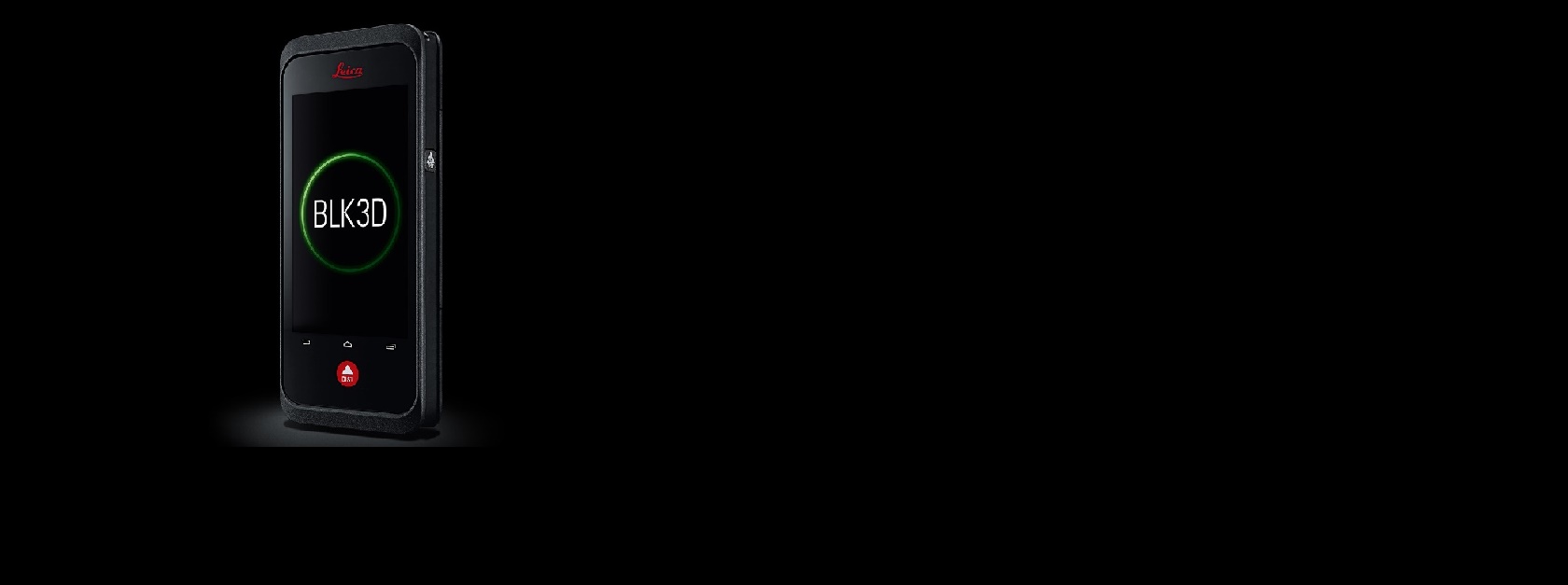
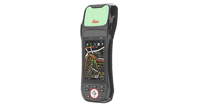
A unique portfolio of wirelessly connected field controllers with a complete range of easy-to-use software.
Controllers
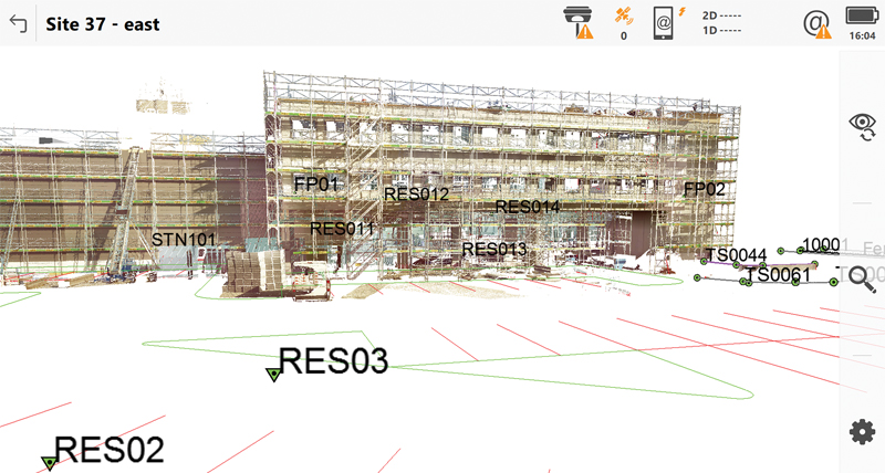
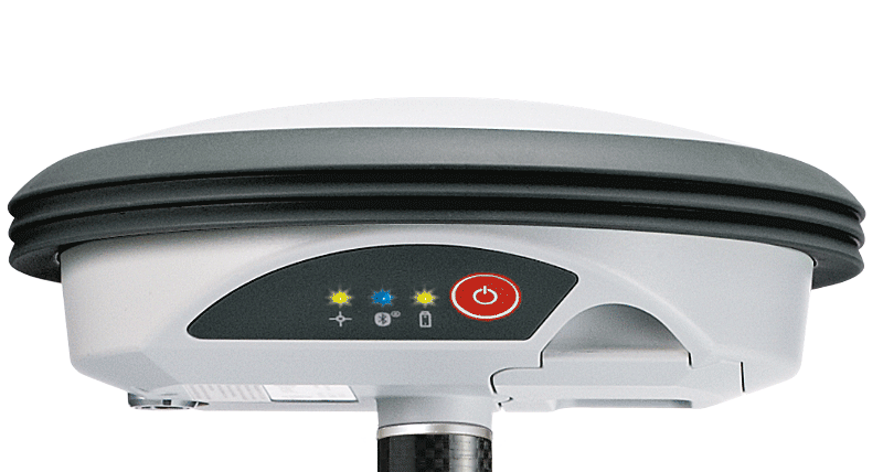
GNSS Systems
Leica Geosystems offers a broad range of software that seamlessly connect measurement sensors to provide maximum productivity.
Software
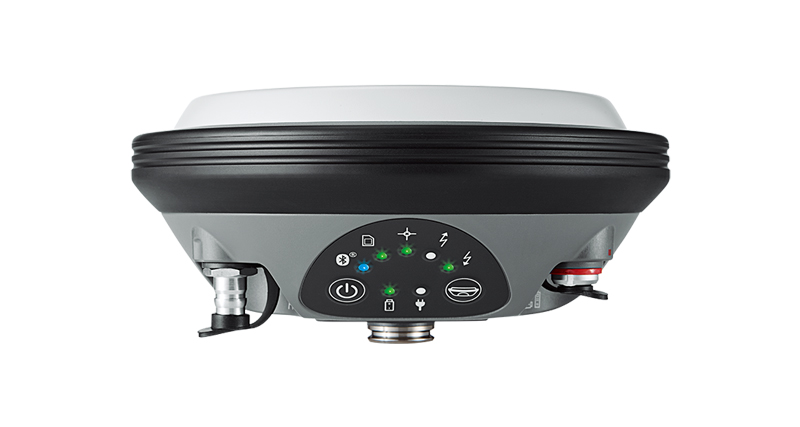
Compact and lightweight GNSS smart antennas for accurate and reliable positioning work.
Smart Antennas
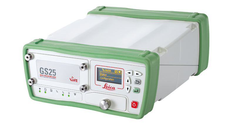
Leica Geosystems provides a wide range of receivers that offer seamless connectivity.
Receivers

A unique portfolio of wirelessly connected field controllers with a complete range of easy-to-use software.
Controllers
GIS Collectors
Leica Geosystems offers the ideal solutions for every mobile GIS application – handheld and tablet computers with integrated GNSS receiver.
GIS Handhelds & Tablets
Leica Geosystems offers a broad range of software that seamlessly connect measurement sensors to provide maximum productivity.
GIS Software
Upgradeable, high-accuracy GNSS smart antenna (L1, L1/L2).
Smart Antenna
DISTO™ & Lino
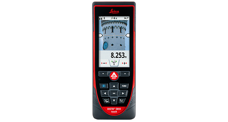
Select the right Leica DISTO™ laser distance metre for your needs and take advantage of the ultimate measuring precision and advanced functionality
Leica DISTO™
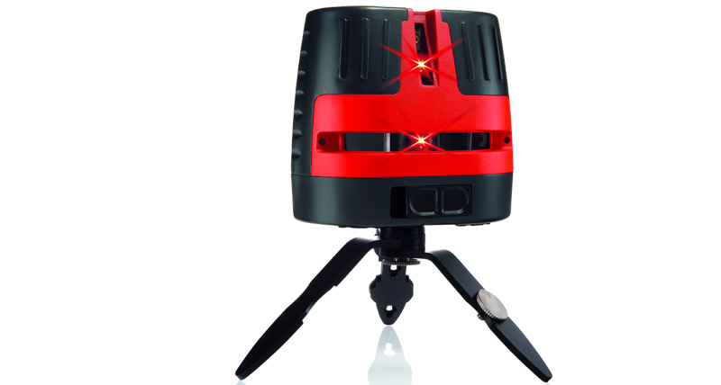
Leica Lino line and point lasers are versatile yet simple to use, making indoor levelling, aligning, squaring and plumb applications fast and easy.
Leica Lino Line & Point Lasers
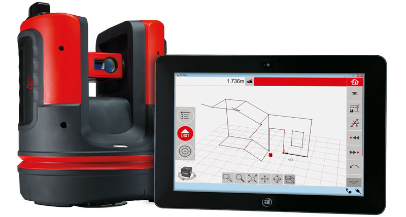
The perfect tool for 3D measuring, scanning and layout with 1 mm accuracy.
Leica 3D Disto
Nothing is better than having your tools “at the ready” when you need them.
Leica DISTO™ Packages

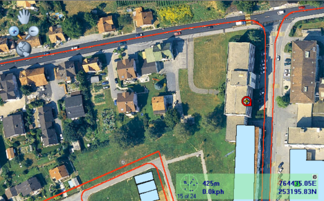
 Tirane - Prishtine
 +355 69 20 57 934